
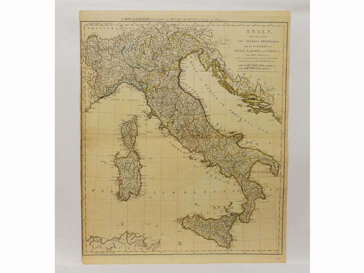
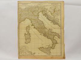

Lot N. 15
Two geographical maps of Italy
Jean-Baptiste Bourguignon D'Anville (1697-1782) Tabula Italiae Antiquae Geographica 1764, watercoloured double page etching , some defects, reinforcement along the lower margin; Robert Sayer (c.1724-1794) and John Bennett (c.1745-1787) Italy, Divided Into Its Several Dominions, and the Islands of Sicily, Sardinia and Corsica 1776, watercoloured double page etching after D'Anville, some defects, reinforcements along the central fold line and along the left margin
sheet 67x54.5 cm, matrix 63.5x50.3 cm