
Lot N. 139
Cartography
includes:
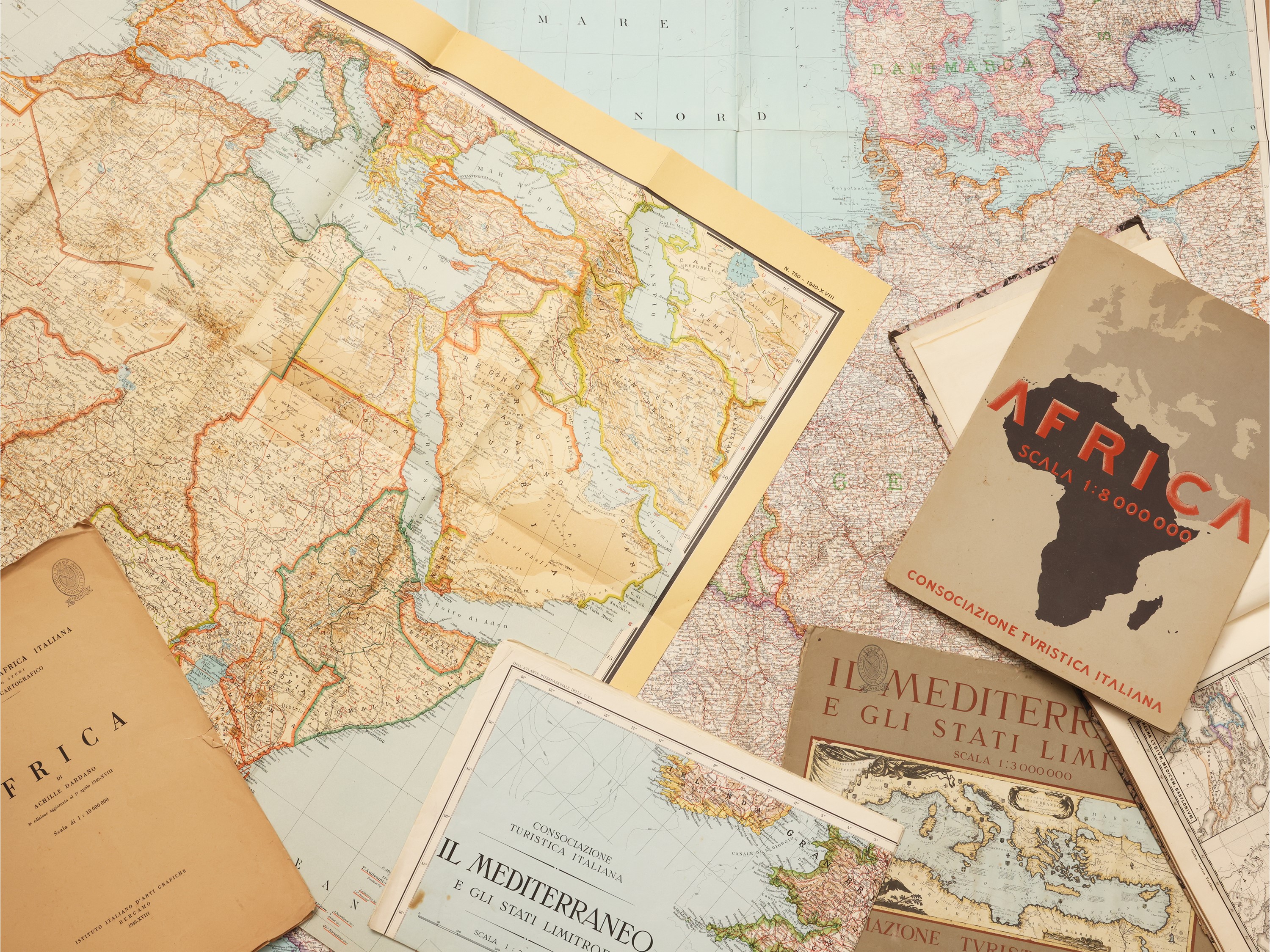
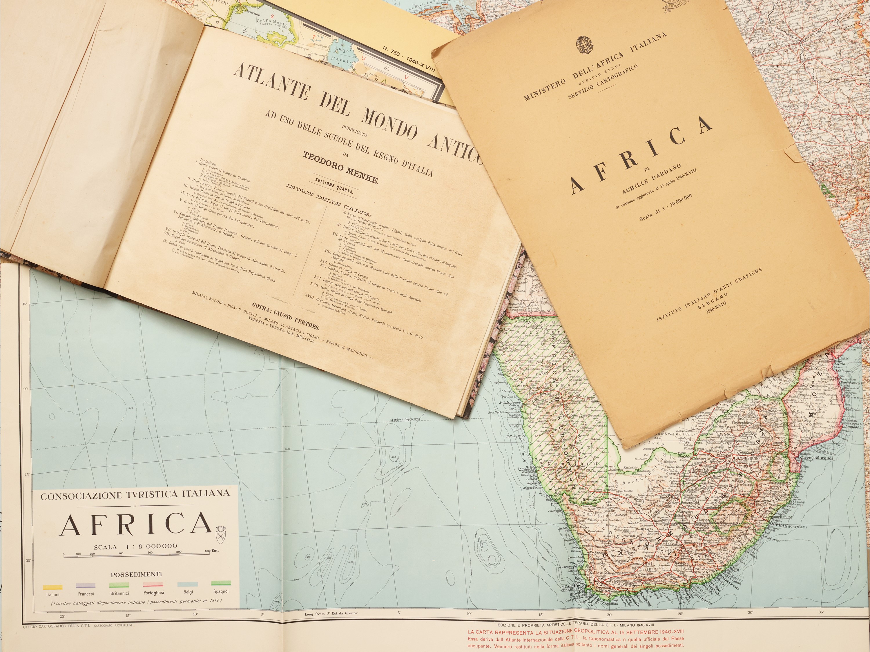
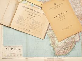
Atlas of the ancient world published for the use of the schools of the Kingdom of Italy, Fourth Edition, Turin, Florence and Rome, [under license from Giusto Perthes, ca. 1865]. In-8° oblong (245x330 mm). 10 p., 18 plates. Half leather binding, with defects. Minor signs of aging.
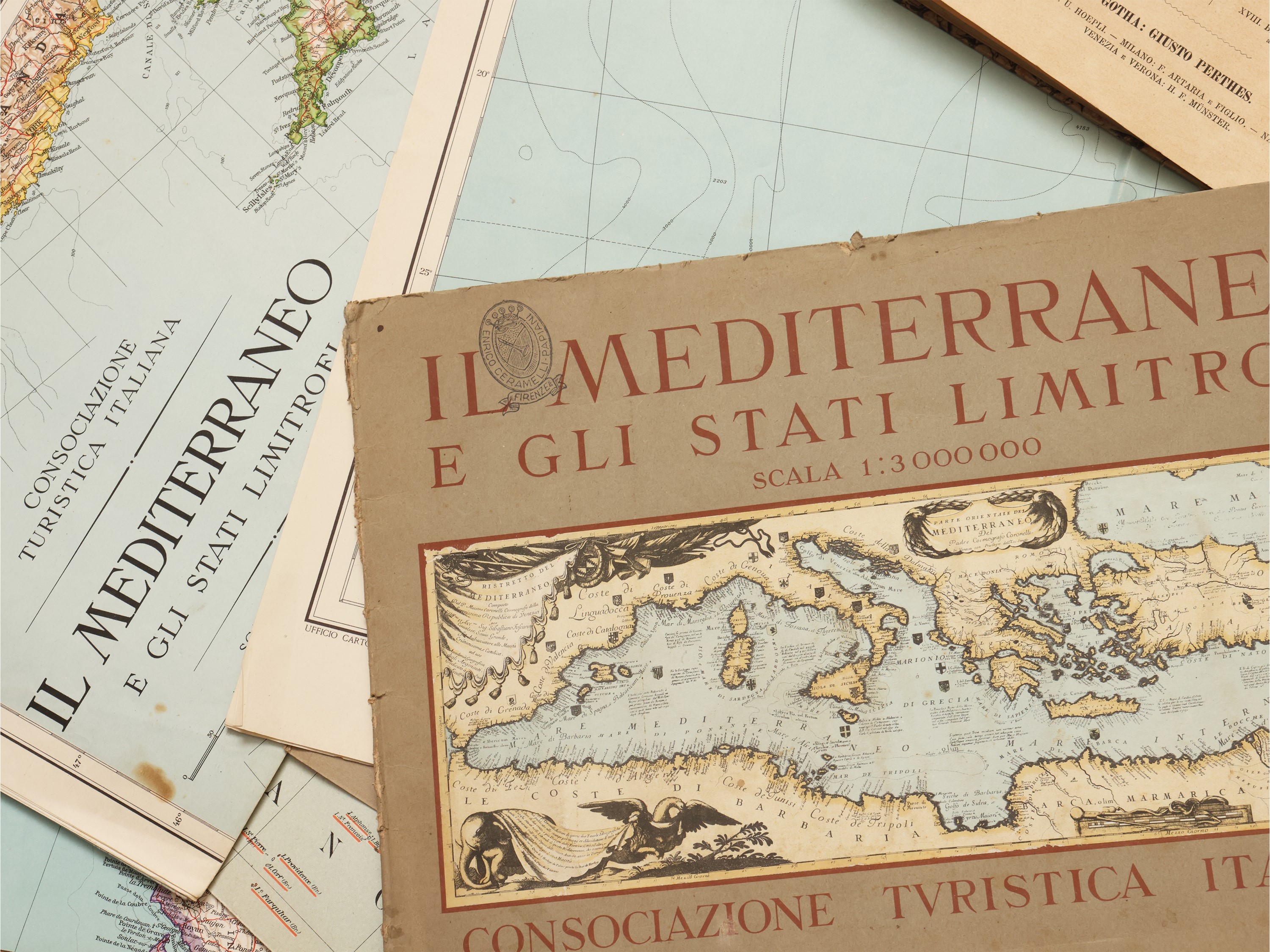
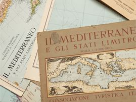
Three geographical maps taken from the International Atlas of the C.T.I.: From the North Sea to the Mediterranean, Africa and
The Mediterranean and neighboring states
Geographical map of Africa by Achille Dardano (3rd edition updated on 1 April 1940)
30/09/2026 14:36:00
Lot closes
5g
14h
56m
19s
Time left
€ 30,00 / 40,00
Estimate
30,00 €
Starting price
€
Your bid
(The reserve price has not been exceeded)
(The reserve price has been exceeded)
Set your maximum bid